News
Indonesia on high alert after 7.3 magnitude earthquake hits

A magnitude 7.6 earthquake has been recorded in Indonesia, initially triggering a tsunami warning
A tsunami warning has been lifted for southern Indonesia after a 7.4 magnitude earthquake struck on Tuesday.
Earlier, the U.S-based Pacific Tsunami Warning Center said tsunami waves were possible for coasts within 1,000 k.m. of the epicenter.
The US Geological Survey (USGS) said the quake struck at a depth of 18.5kms in the Flores Sea at 10.20am local time.
The Japan Meteorological Agency said the quake posed no tsunami threat to Japan.
The European-Mediterranean Seismological Centre estimated the magnitude at 7.7, placing it at a depth of 5 k.m.

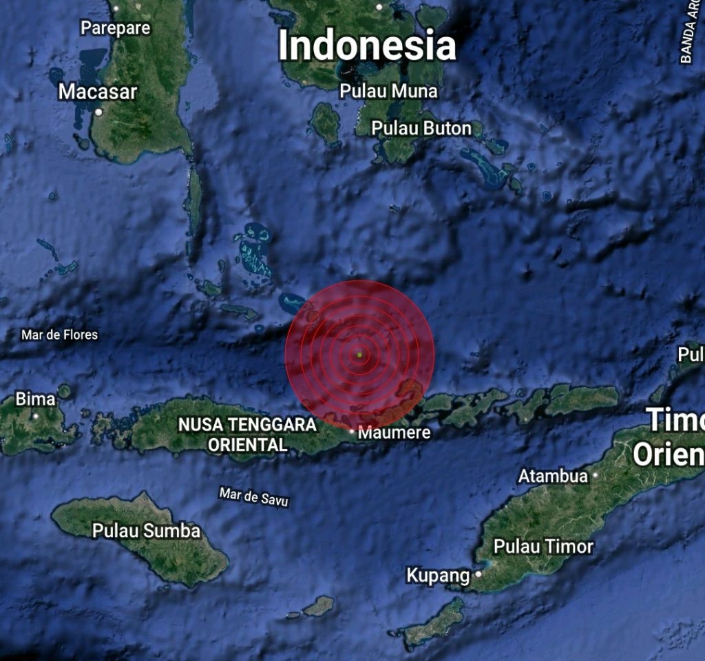
The quake struck at 0320 GMT in the Flores Sea
The quake struck at 0320 GMT in the Flores Sea, about 112 km northwest of the town of Larantuka, in the eastern part of Flores island, at a depth of 12 km.
“Everyone ran out into the street,” Agustinus Florianus, a resident of Maumere town on Flores, told ticker NEWS affiliate Reuters.
Maumere was badly damaged by a quake of a similar magnitude in 1992.
Tsunami warnings were issued for the areas of Maluku, East Nusa Tenggara, West Nusa Tenggara and Southeast and South Sulawesi but were later lifted.
The U.S. Geological Survey later said the quake had a magnitude of 7.3. An aftershock of 5.6 magnitude hit Larantuka after the first quake, the Indonesian agency said.